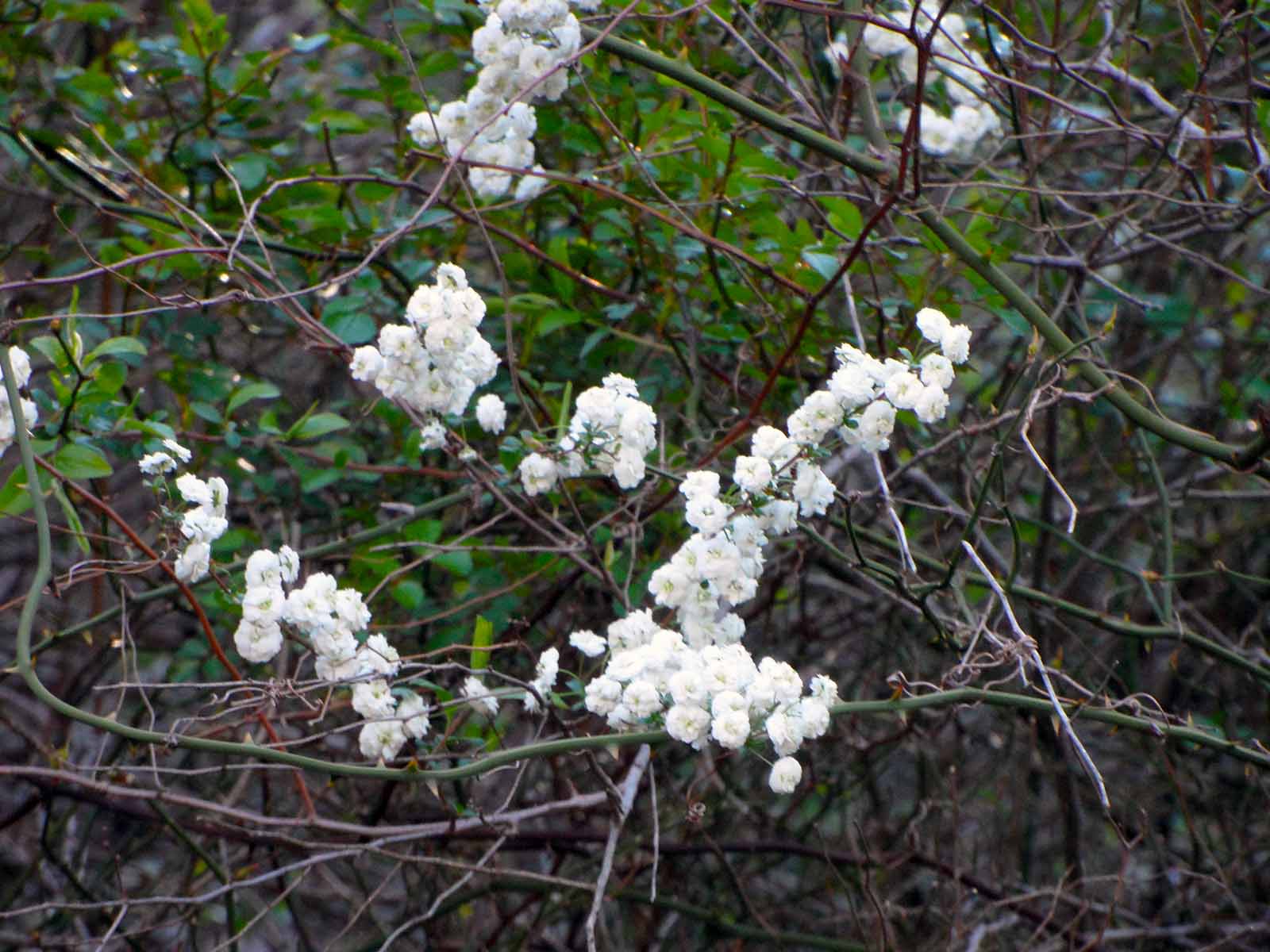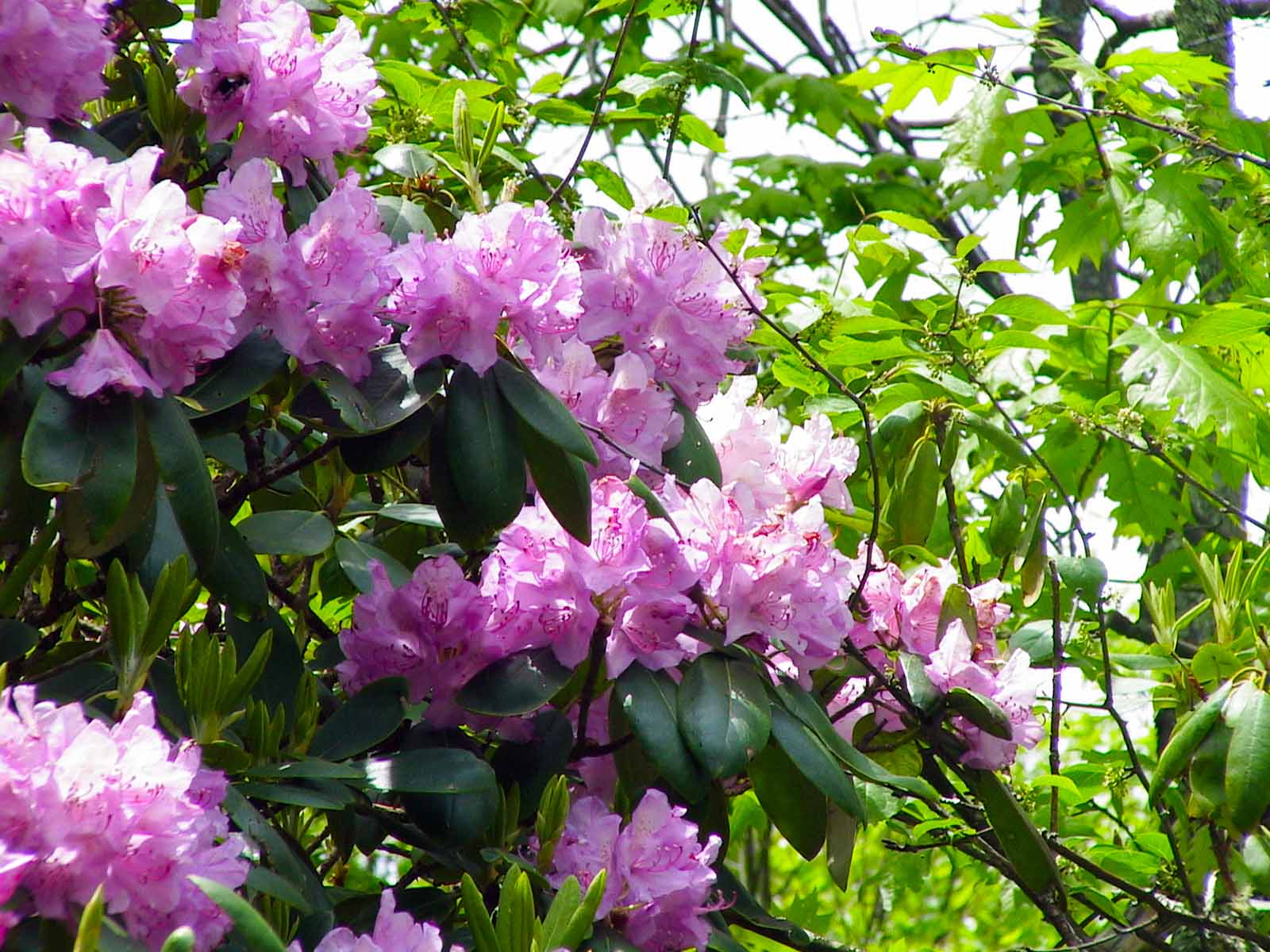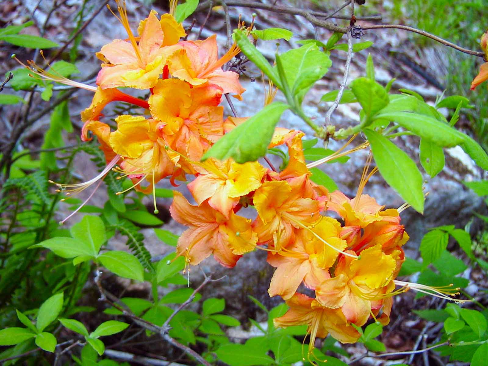
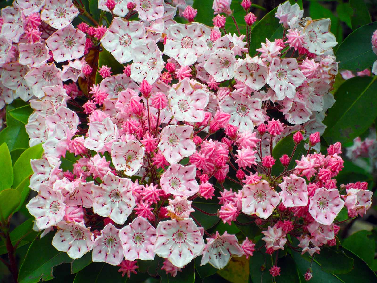
Olympic Fire Mountain Laurel
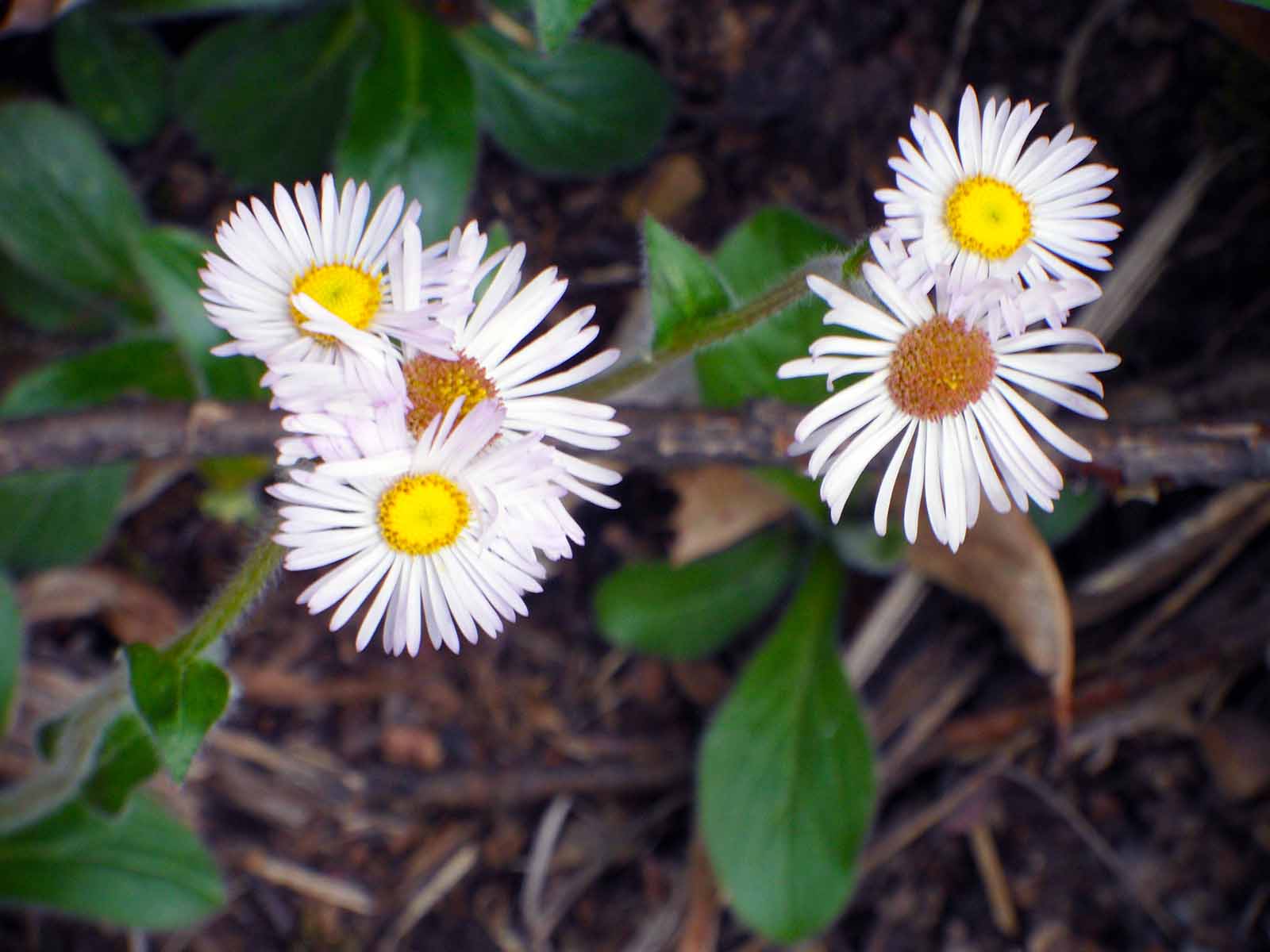
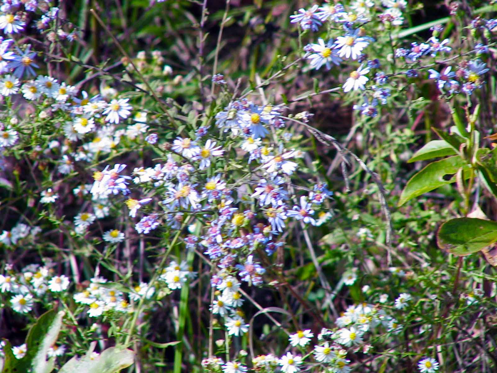
Daisy
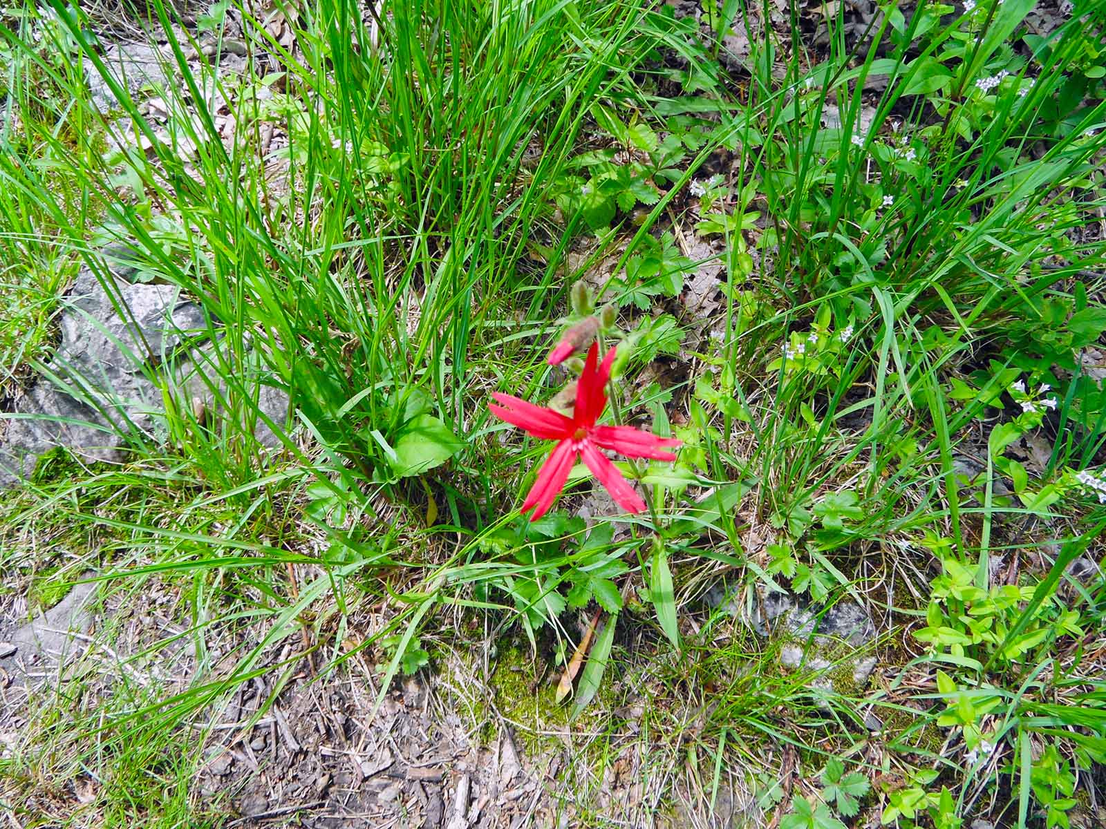
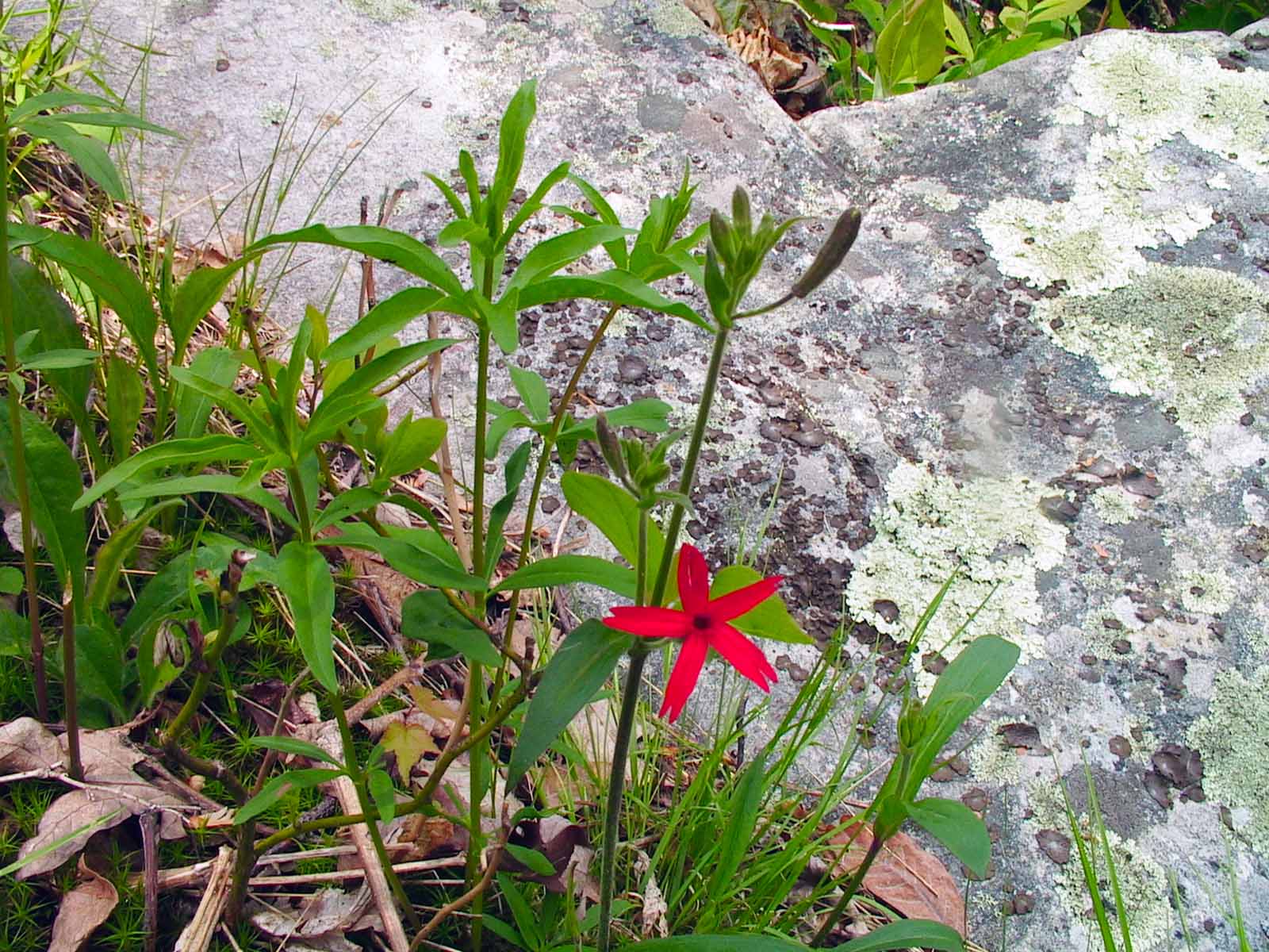
Fire Pink
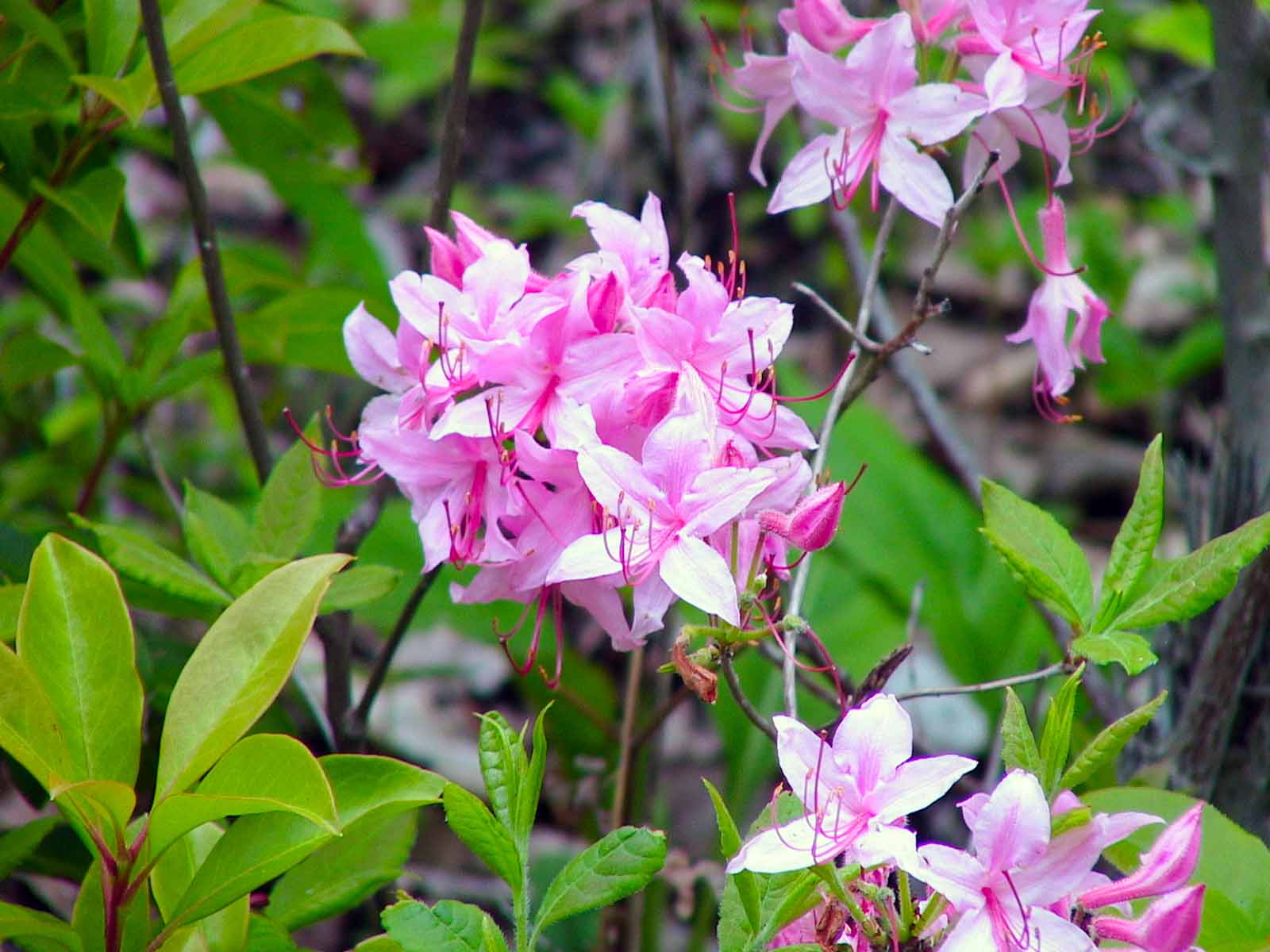
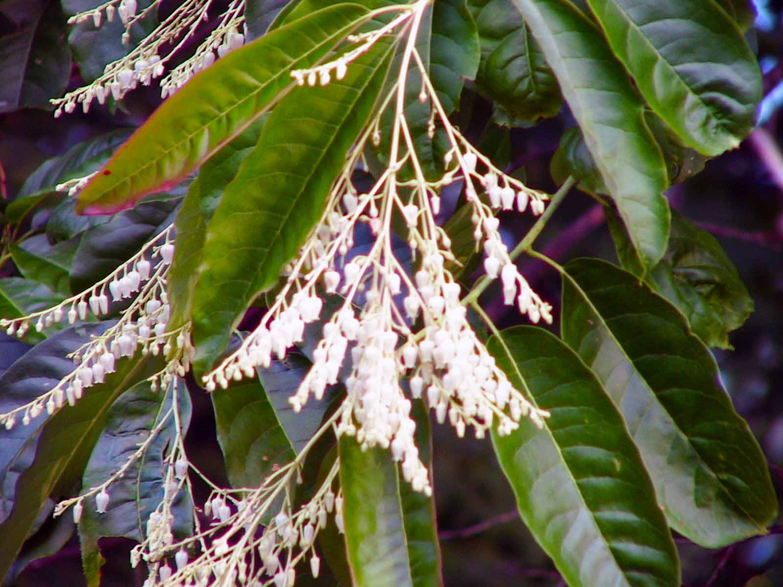
Pink Honeysuckle
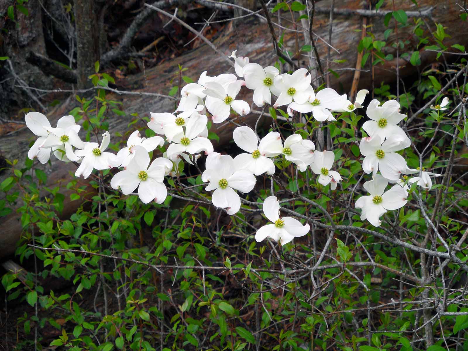
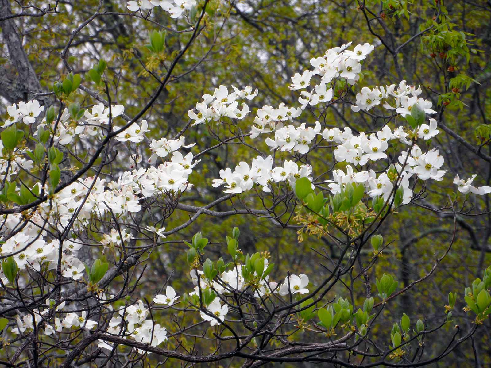
Dogwood
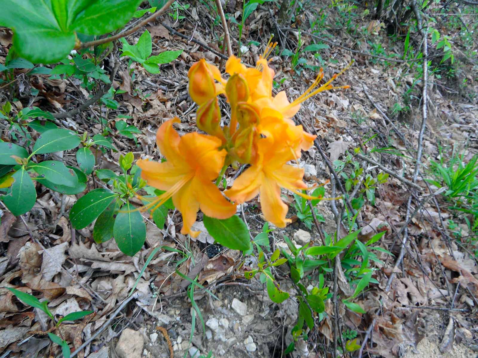
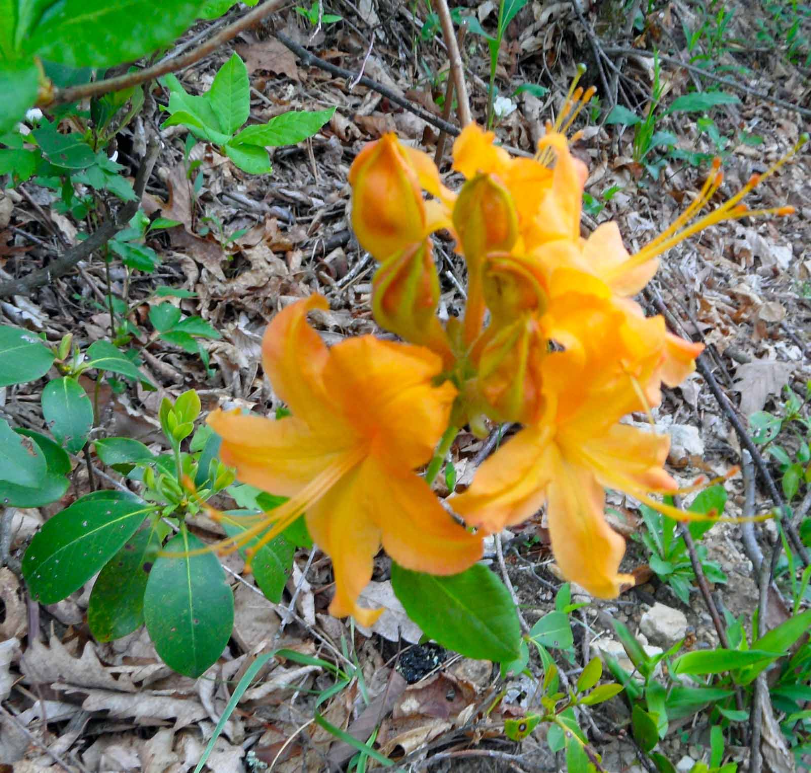
Orange Honeysuckle
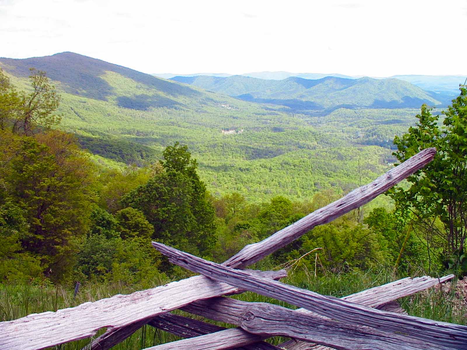
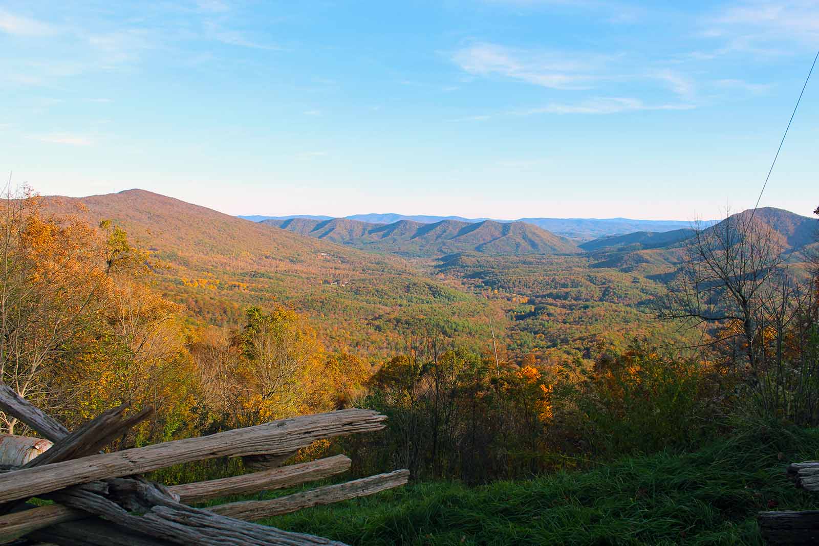
The Big Walker Mountain Scenic Byway showcases the natural beauty of southwest Virginia and the history of the area. The byway passes through 16.2 miles of national forest and private land in Bland and Wythe Counties. Travelers will find it easily accessible from Interstates 77 and 81, from Wytheville, VA. It can be a refreshing alternative to interstate driving for those who might like to leisurely enjoy some scenery.
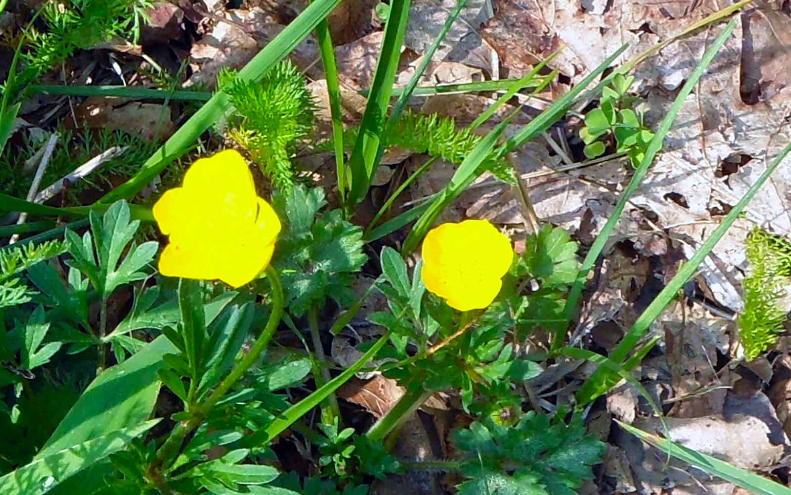
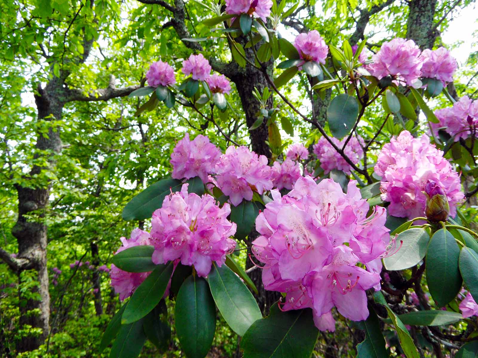
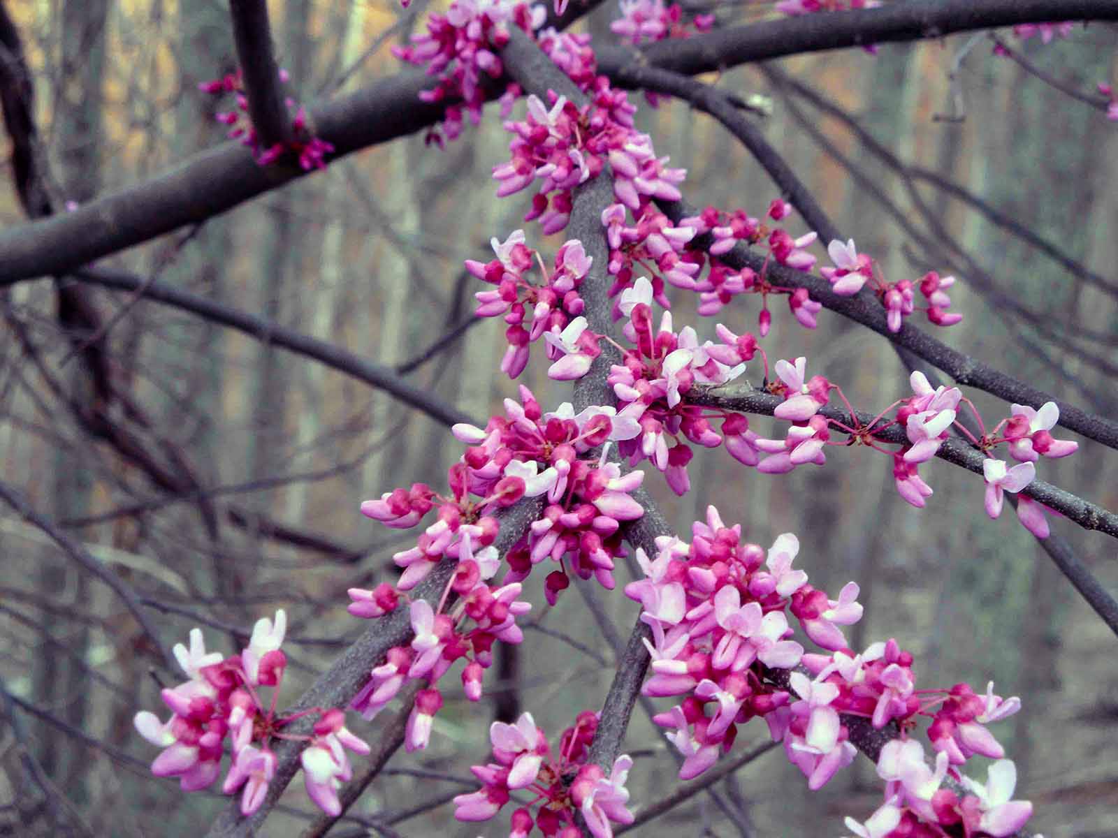
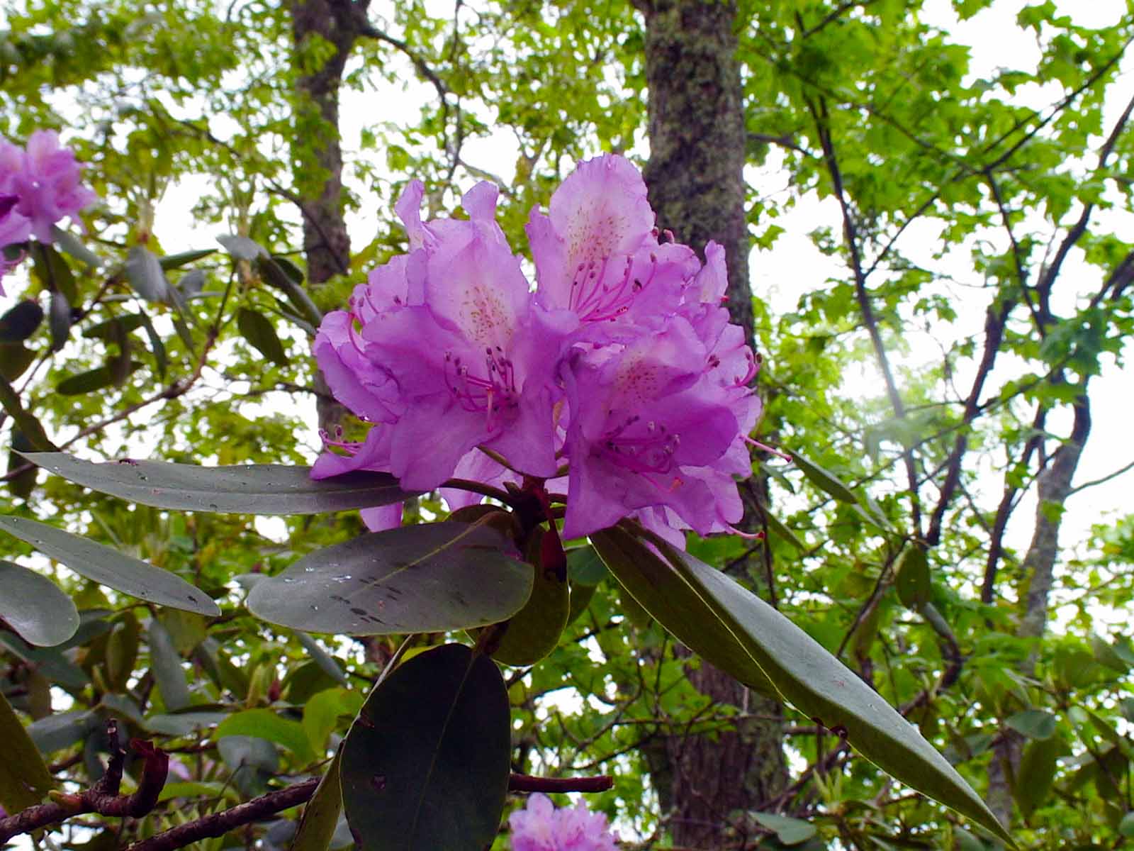
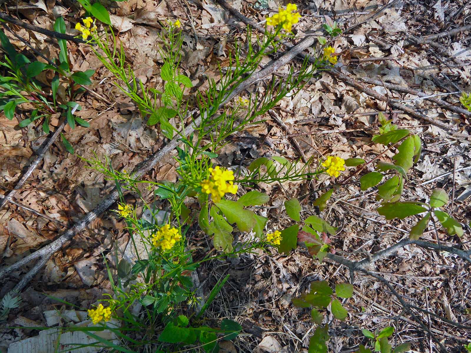
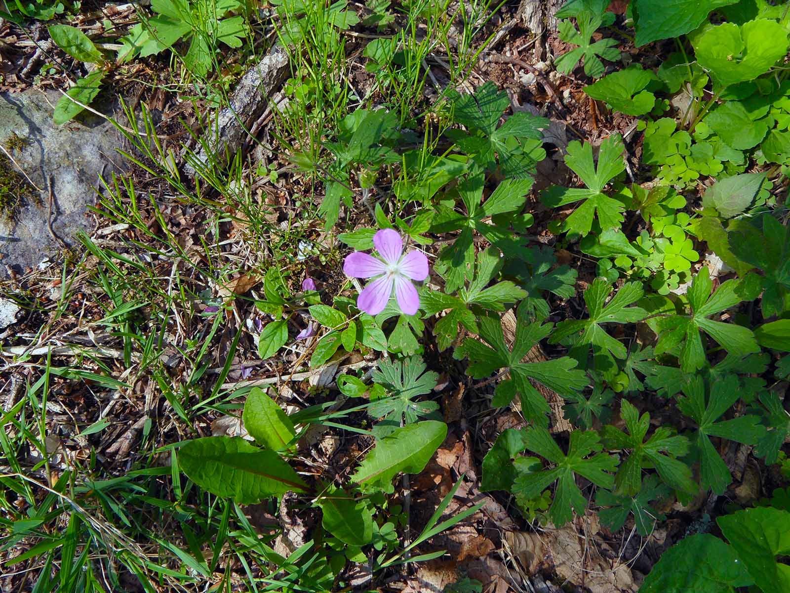
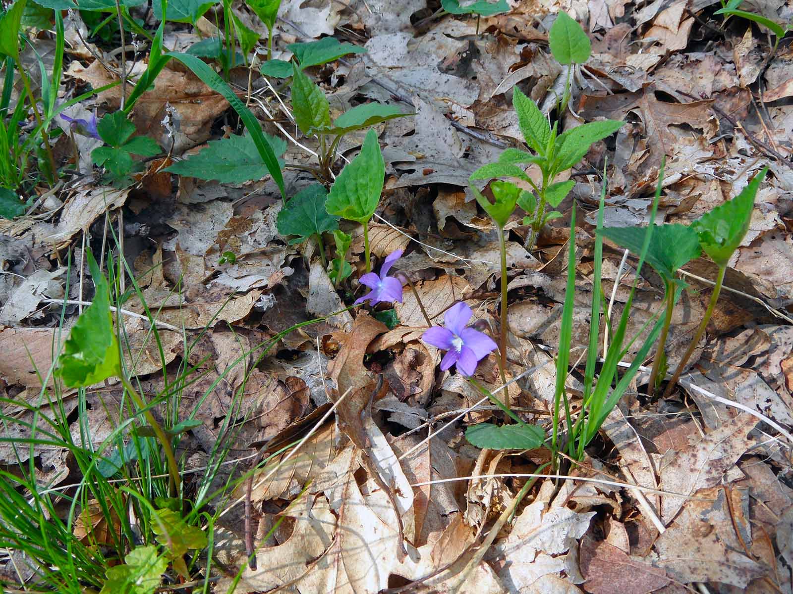
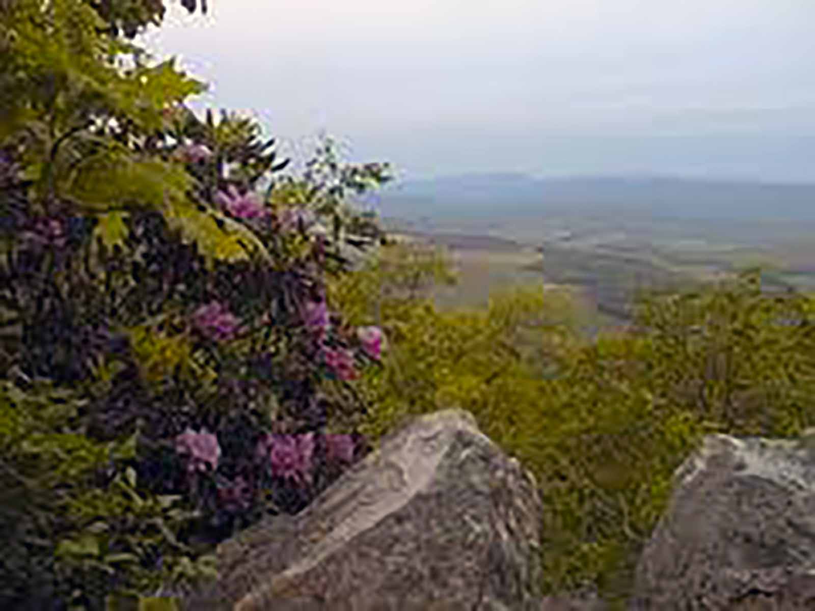
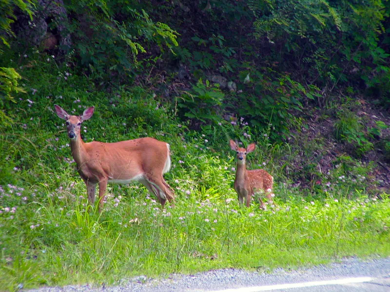
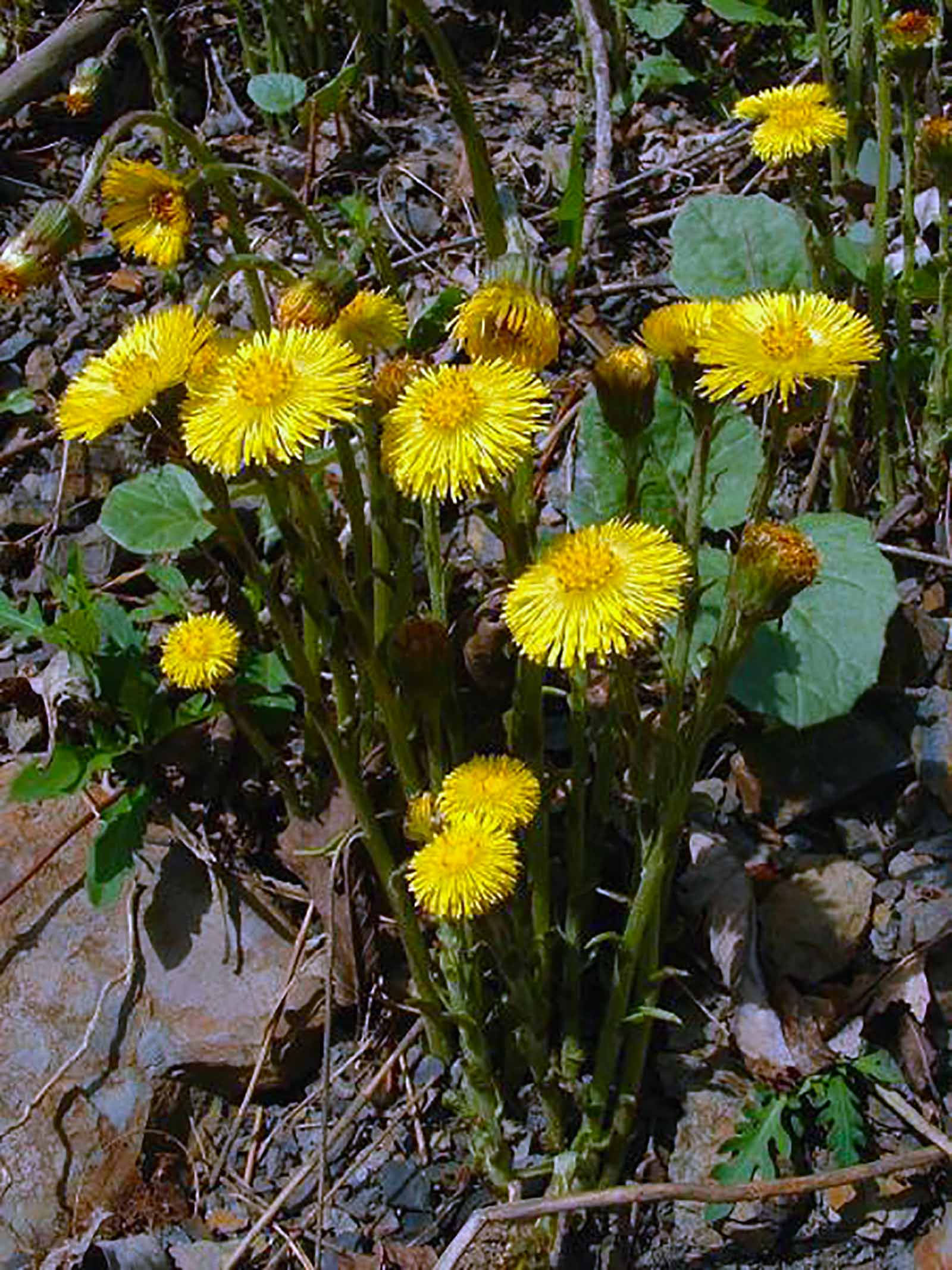
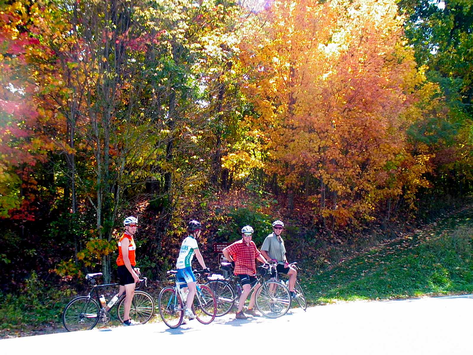
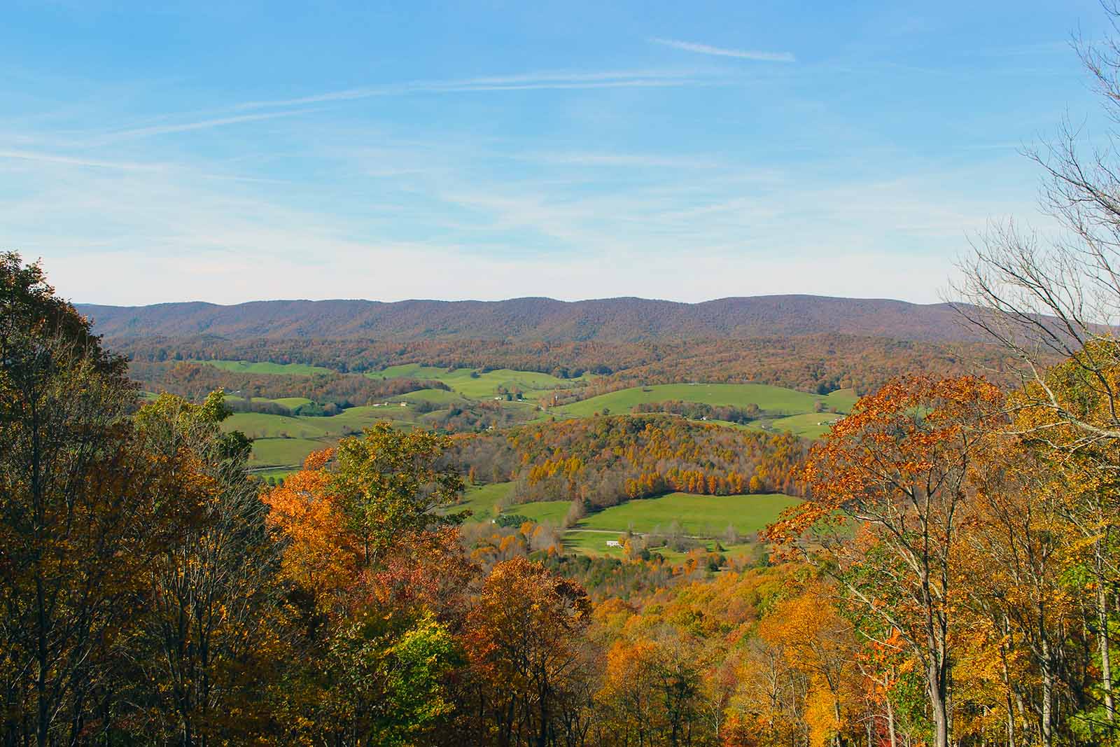
This byway takes travelers over some of the area’s most scenic land, which is beautiful year round. In the winter, the sun hitting the frozen tree tops on Big Walker Mountain creates a spectacular winter wonderland. The colors of springtime are a welcome change after winter’s whites and browns. There are many places along the byway to stop and enjoy the flowers. Summer and fall are excellent times to enjoy camping, hiking, hunting, and picnicking in the Jefferson National Forest along the byway.
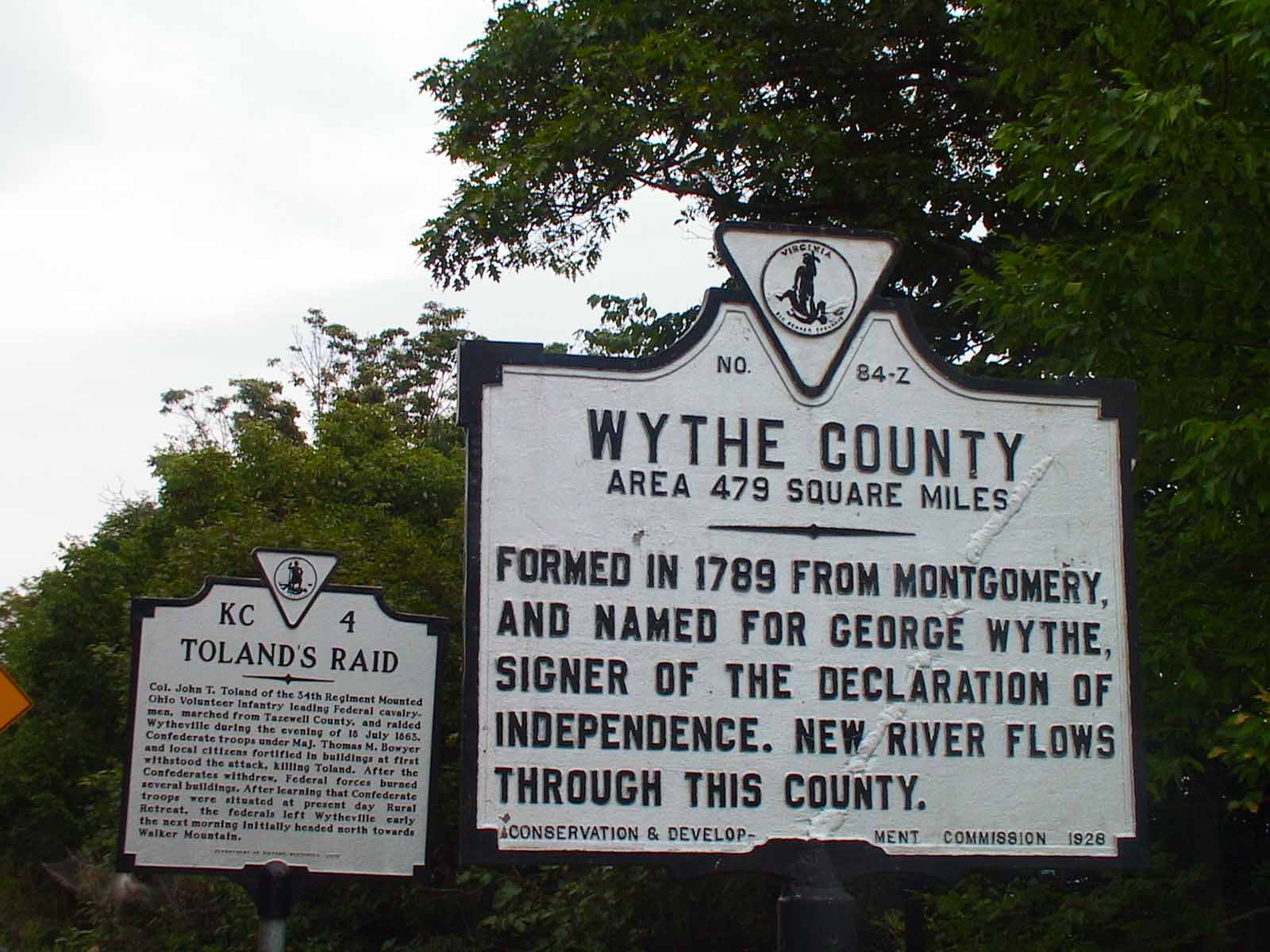
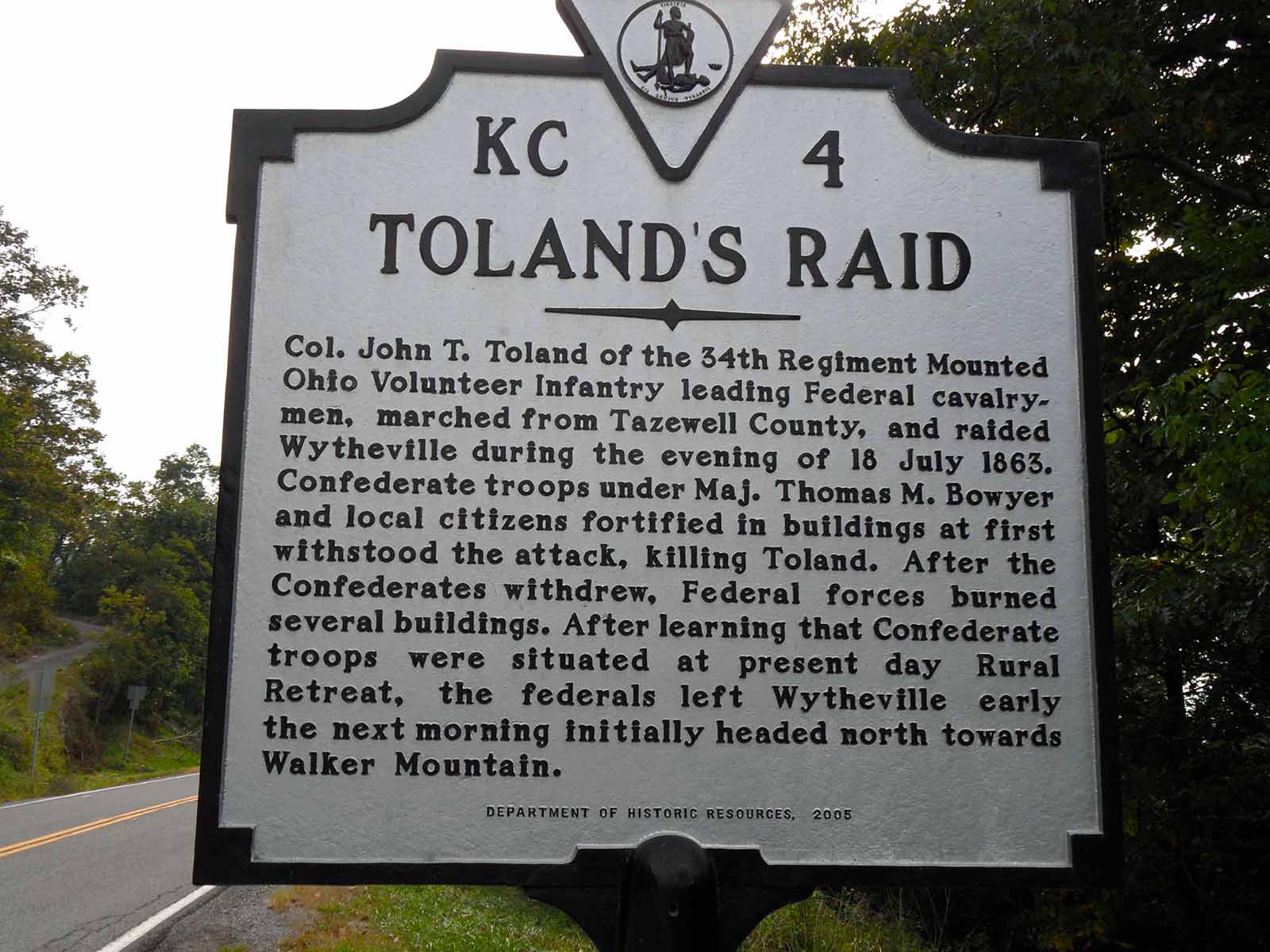
The area surrounding the byway is rich with history, some of which can be read on roadside markers. There are stories of Civil War battles and legendary people, such as preacher Bob Sheffey and Mary “Molly” Tynes.
Click the picture below to read the markers:

Description of Route
The byway begins at the intersection of Route 717 and Interstate 77, about 5 miles north of Wytheville. Proceed west on Route 717. Keep track of your mileage to match the 12 sites highlighted below. You will drive 16.2 miles if you cover the length of the byway.
Drive 1.1 miles to an old road that provides access to Stony Fork Creek. You may enjoy fishing or hiking the Seven Sisters Trail.
Another 0.4 miles farther, at the left, is the site of Buck and Ollie Astin’s home. It is used as an access point to Stony Fork Creek. Buck Astin and his wife Ollie lived on this site from the early 1900’s until the 1970’s, cutting trees for mine props and skidding the logs out with horses and mules. They dug and marketed ginseng, a native herb valued as a medicine. Like many other settlers in the area, they also used whatever else the land would provide them in order to subsist.
Drive 2.3 miles to the entrance to Stony Fork Campground, on the left. This is a Forest Service campground. Stony Fork Creek runs through the campground, providing recreation such as fishing. Take a walk along the nature trail in the campground or the adjoining Seven Sisters Trail.
In another half mile, Route 717 intersects U.S. 52. Here, the byway turns right and ascends Big Walker Mountain.
Drive 0.4 mile, where U.S. 52 intersects with Route 686. This State road passes the privately owned Deer Trail Park Campground. They provide activities such as swimming, fishing and mini golf. It is a wonderful place to unwind and is a birders paradise.
Go 3.0 miles to the site of Big Walker Lookout. The Lookout is a privately owned business started by Stuart and Abigail Kime in the early 1950’s, when U.S. 52 was a new highway. Located here is a 100-foot tower, at the top of which is a spectacular view of several States. You are now at about the halfway point of the byway.
Big Bend Picnic Area is 4 miles from U.S. 52 on Forest Service Road 206, which is to the right of Route 52. Big Bend is set amidst orchard grass under canopy of oaks at an elevation of 4,000 feet. The site offers vistas of the ridge and valley terrain to the south. It is open all year and there is no fee.
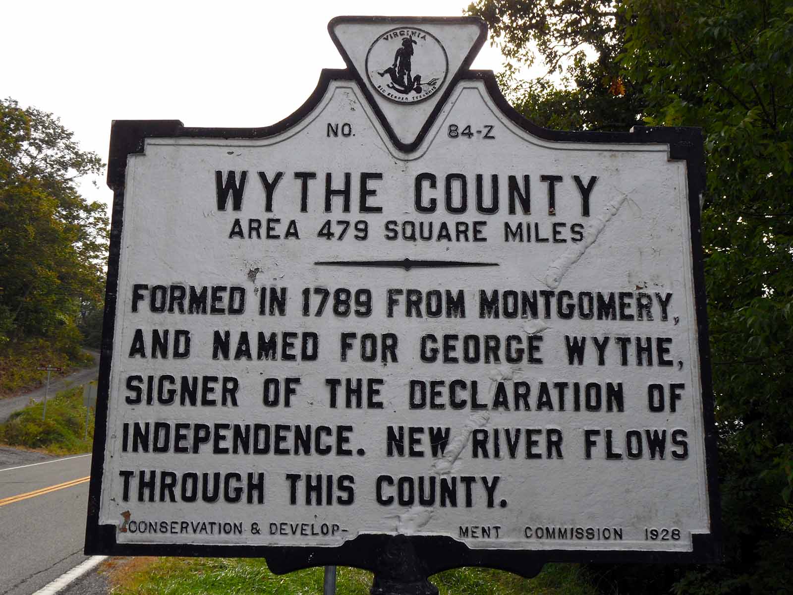
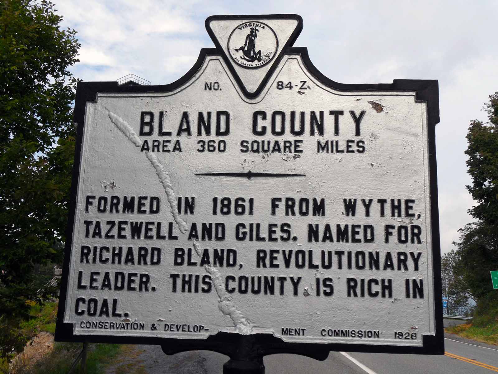
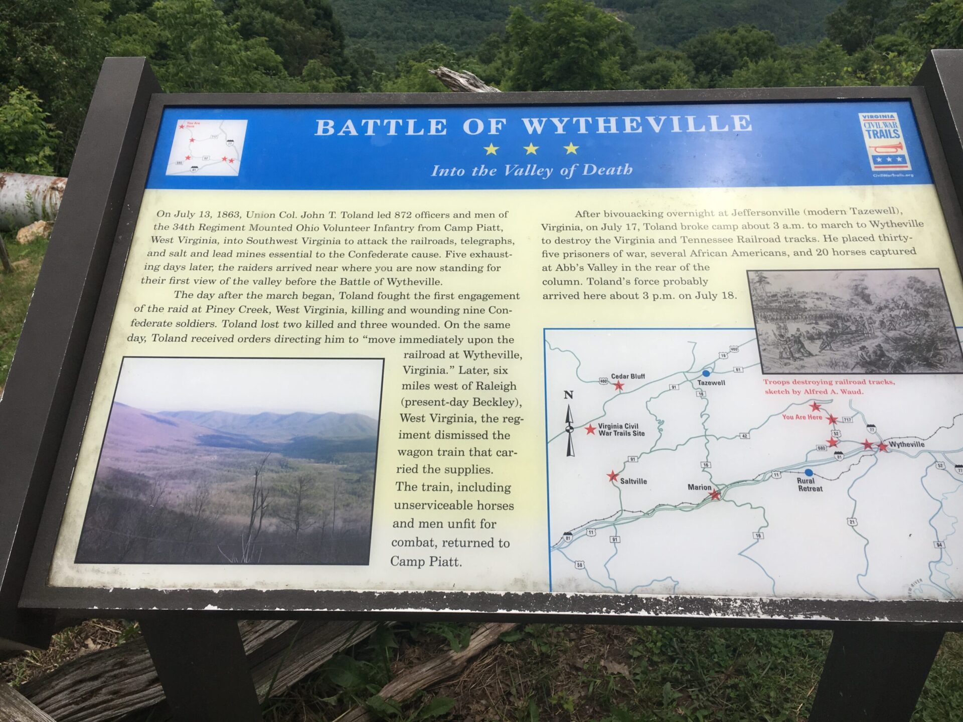
Two historical markers are next to Big Walker Lookout. One marks the place Molly Tynes supposedly came across the mountain to warn the people of Wytheville about a raid by Colonel John Toland, July, 1863. The other sign tells about the forming of Wythe and Bland counties and marks the boundary between the two.
Drive 2.7 miles to a sign marking the home place of S. H. Newberry. He was a member of the “Big Four” in the Virginia Senate just after the Civil War. Many interesting stories exist about their influence on postwar Virginia.
In another 2.2 miles, U.S. 52 intersects Route 615. This State road is an access point for the Appalachian Trail.
If you’re ready for a picnic, go another 0.1 mile. There is a roadside table on the right side of the road.
Drive 2.8 miles, where U.S. 52 crosses Interstate 77. The byway ends here.
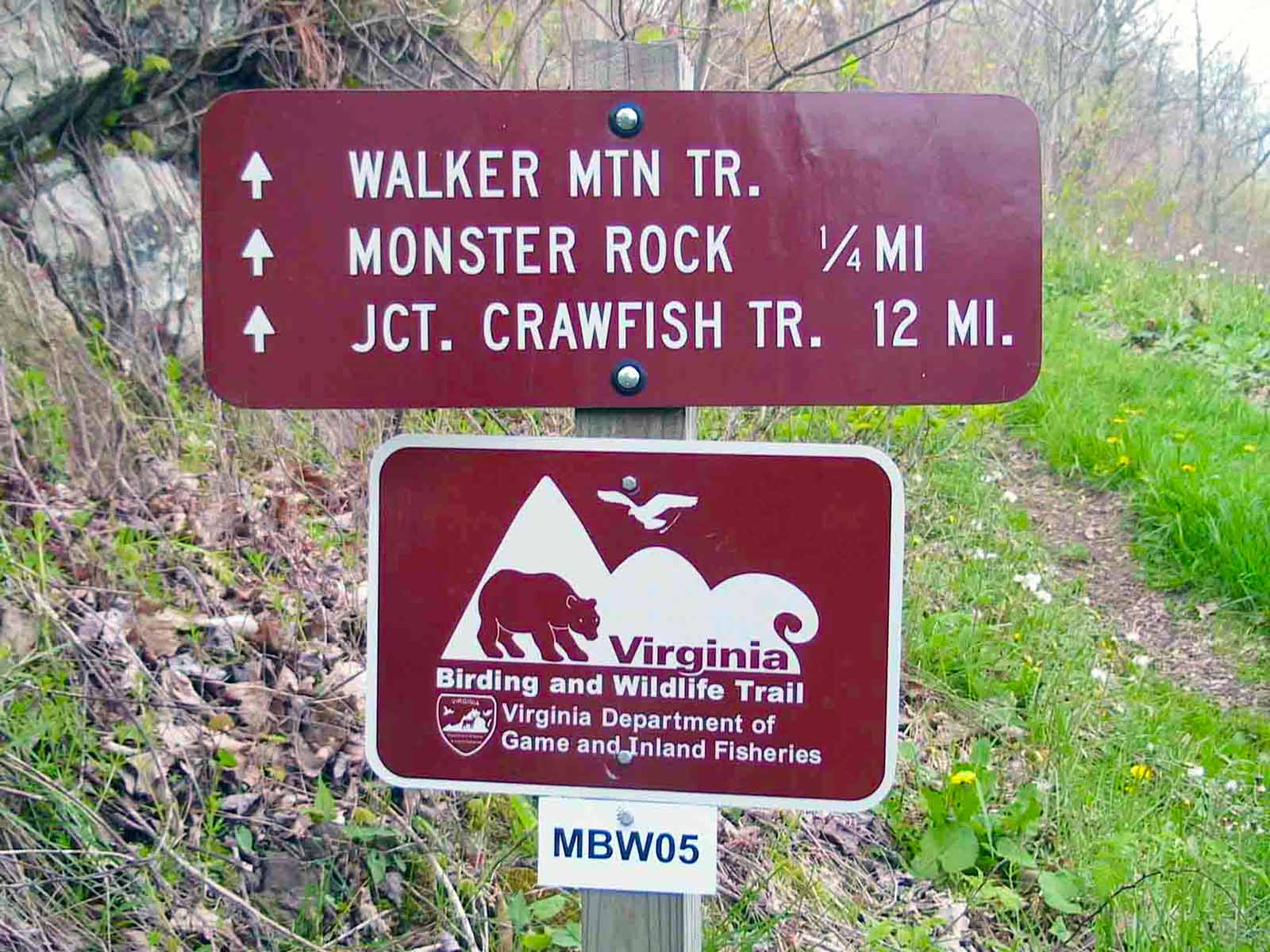
Hiking Resources